HVAC & Refrigeration
Survey & Inspection (DSI) > <
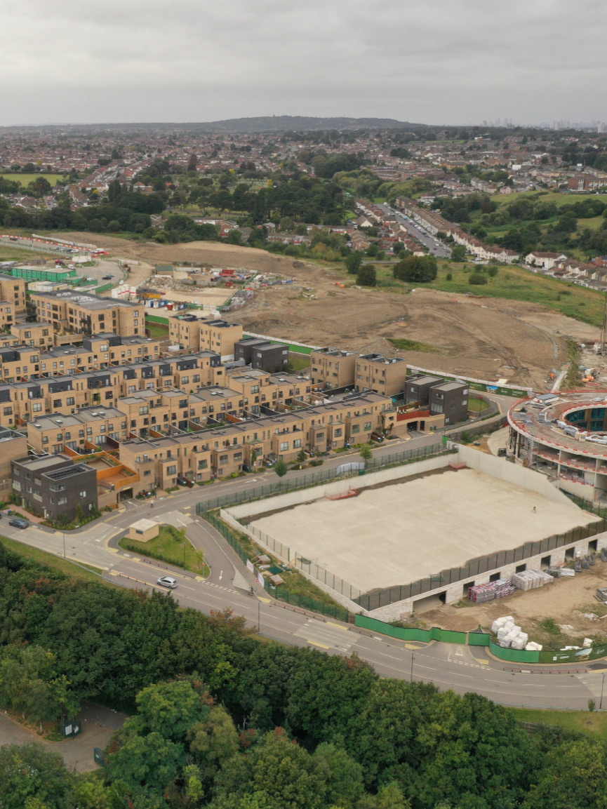
Topographic Survey of 50-acre Residential Development Site
TEXO was commissioned to produce a detailed 3D topographical survey of this previously disused 50-acre quarry located in Kent, England. This award-winning development site is characterised by steep embankments and dense vegetation coverage, with busy boundary roads and site access tracks throughout. The scope was to accurately capture topographical detail across the site with three key goals: Ground surface representation; feature coverage; minimise time on site. With the site conditions, scope area and the three survey goals in mind, the operations were conducted using a combination of techniques involving both UAV and terrestrial operations.
Solution
With challenges facing the team of limited accessibility, densely vegetated areas, conflicting site activities and safe survey of the road network, TEXO needed to provide a ‘right first-time’ survey solution from which a topographical survey could be delivered.
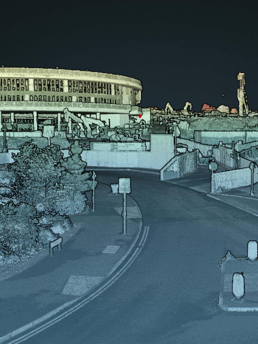
Vehicle Mobile Mapping: Using our industry-leading LiDAR system, TEXO were able to successfully map the live roadways within and bordering the site, with no need for costly traffic management – a huge benefit for our client in terms of safety and efficiency.
UAV Mobile Mapping: By deploying our UAV LiDAR system, we guaranteed accurate ground surface levels through even the densest vegetation. This enabled a detailed ground surface model, and contour plot to be developed. It also reduced the time-on-site and potential safety issues by capturing data in ‘live’ construction areas.
UAV Photogrammetry: Our VTOL (vertical take-off and landing) UAV platform was deployed to map the 50-acre area in under 30 minutes, providing a high-resolution orthomosaic referenced to OS grid which not only assisted the CAD team with the topographic drawing, but provided the client with an up to date ‘site map’ and condition survey.
Result
TEXO captured and delivered to the client:
- 3D LiDAR Point Cloud
- Classified Ground Point Cloud
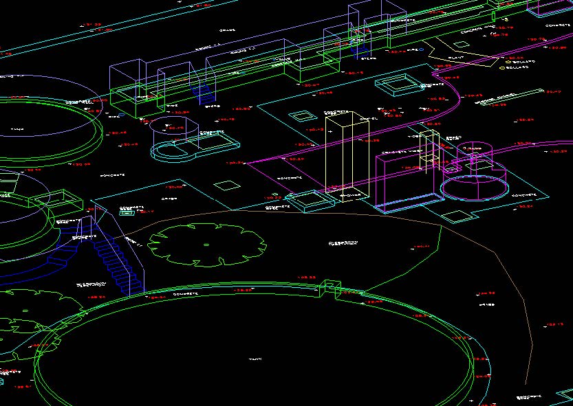
- 3D CAD Topographical Drawing
- Site Orthomosaic
All data was hosted for the client on Texzone, providing their team with an interactive single point of record for all survey outputs, easily downloaded and shared. TEXO are proud to achieve the survey goals of zero safety incidents, minimal disruption to ongoing site activities/road networks and level coverage across the entire site.