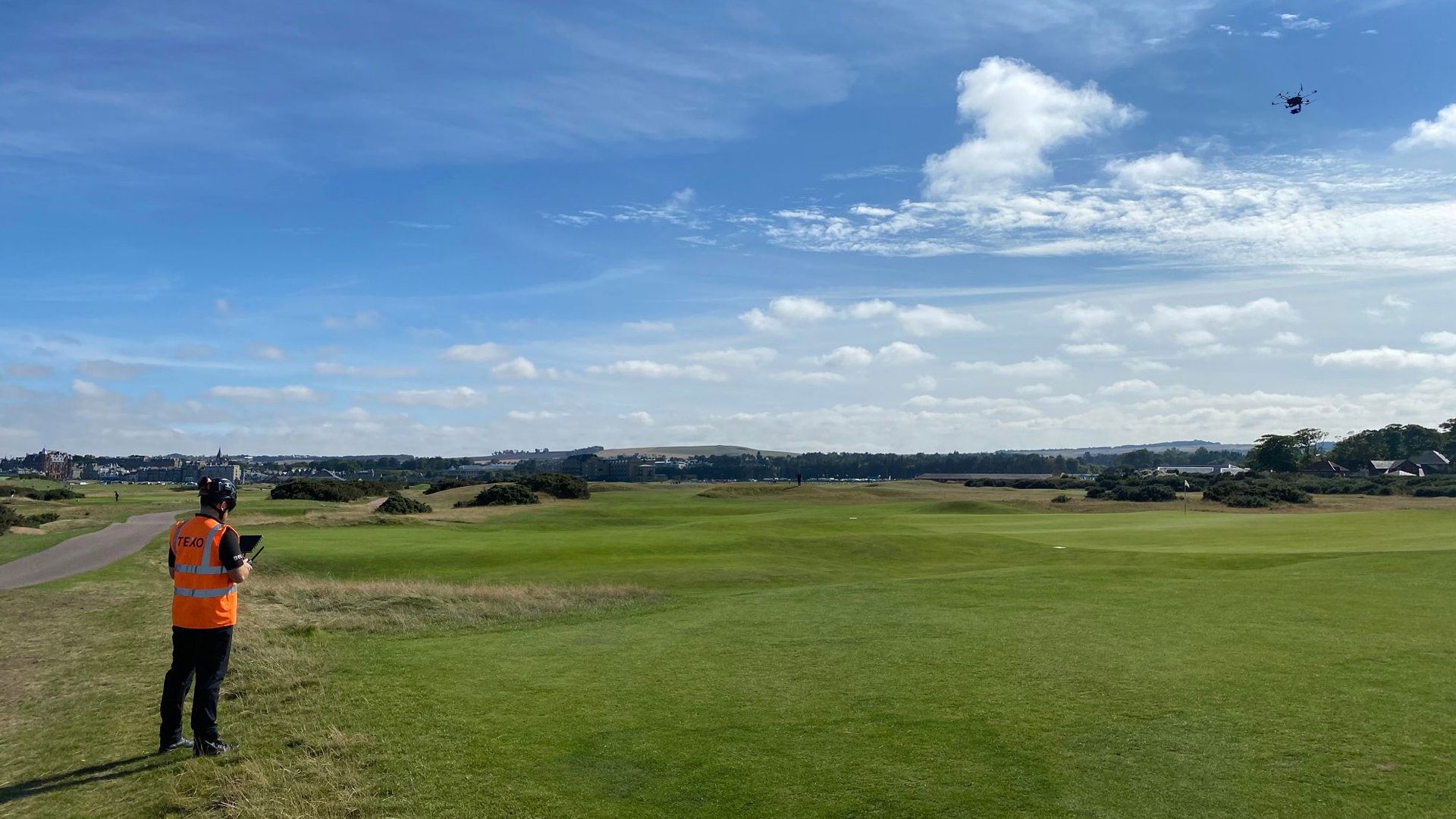
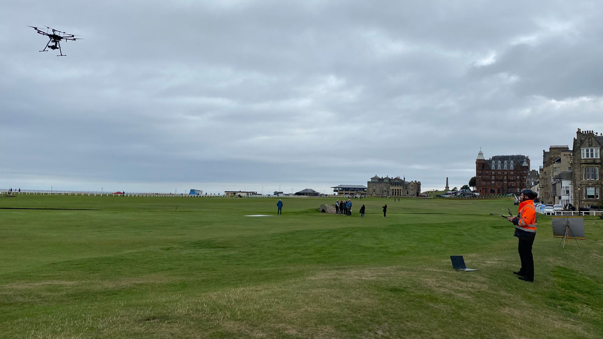
“At TEXO Survey & Inspection, we use the latest spectral imaging technology to carry out aerial surveys for a variety of purposes, including soil nutrient quantification, disease detection, mineralogical identification and hazardous materials identification.”
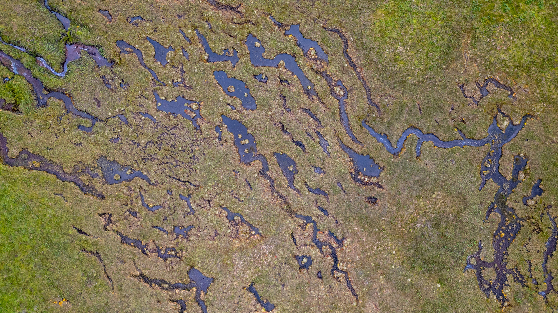
Spectral analysis is a reflective sensing technique that uses reflected sunlight to illuminate and measure reflective & absorptive indices. Humans see in three visible bands, red, green and blue. We use these to see our world in colour and distinguish between features, by the colours our eyes detect. Hyperspectral systems used at Texo DSI can detect a plethora of spectrums allowing for observation of up to 270 spectral bands.
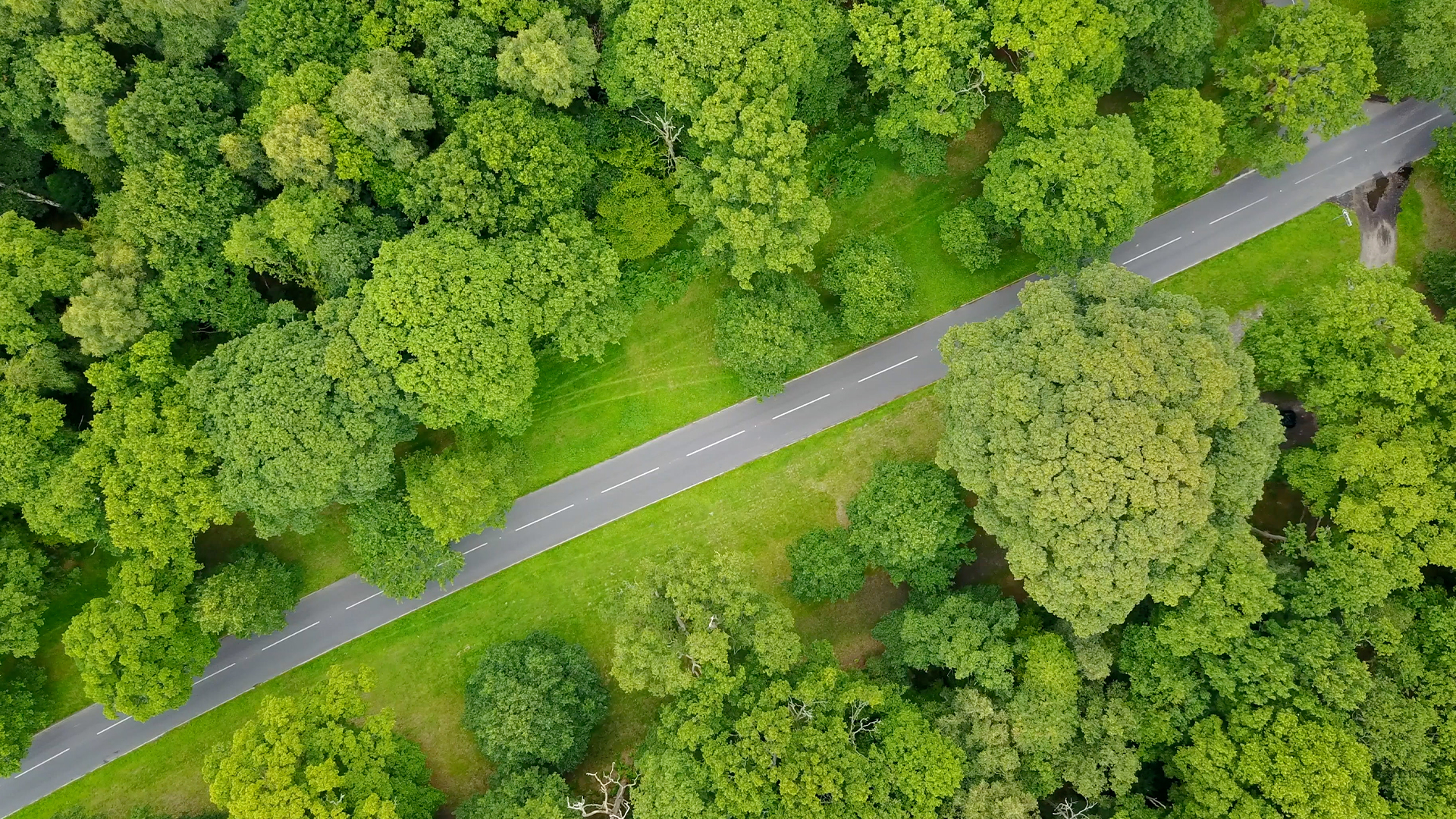
Many applications exist with key soil nutrient quantification, disease detection and chemical composition of plants in agriculture. By combining this data with our LiDAR system we can create interactive digital point clouds of this information.