Survey & Inspection (DSI)
Survey & Inspection (DSI) > <
3D Scan Capture and LOD 300 Modelling of Academic Facility
TEXO was appointed to deliver a digital twin pilot survey on an academic medical training facility located within a University campus, as part of an initiative to achieve net zero carbon emissions on campus by 2030.
The ultimate aim of the project was to innovate beyond the traditional practices of building surveying and environmental management practice by using a survey and modelling method that was capable of driving down operational carbon emissions, and project lifecycle cost and maximising operational efficiency.
SOLUTION
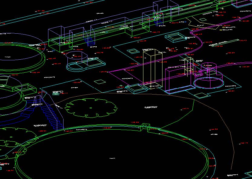
A detailed REVIT Model or ‘Digital Twin’ was the solution selected and TEXO was commissioned to produce this highly accurate, detailed 3D point cloud and subsequently as-built REVIT model replica of the structure and its contents.
The survey method was required to capture the as-built building fabric, structure (both internal and external) and heating elements along with fixed furniture and fixtures for BIM modelling purposes. This required detailed point cloud capture, geometric control establishment and UAV photogrammetry to be utilised by TEXO’s qualified survey personnel.
Survey services delivered:
- High Accuracy Survey Control
- 3D Laser Scanning
- UAV Photogrammetry
- 3D Virtual Tour
- LOD 300 Revit Model
RESULT
Geometric Control Establishment
TEXO established permanent geometric control on site to OS and datum. Ground control was established using Static Base station observation and then a least squares adjusted traverse was performed using a 1” total station to coordinate scan targets placed in the survey area. Survey targets were placed both internally and externally to the structure to ensure that the scan data could be positionally verified throughout. Furthermore, ground control points were positioned around site to tie into the UAV photogrammetry imagery. The control process required one day on site.
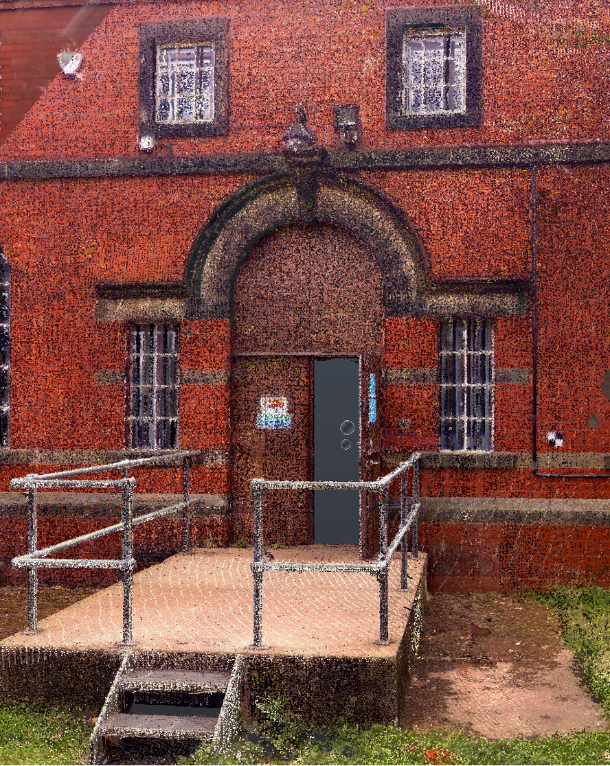
3D Laser Scanning
Using TEXO’s Leica RTC360, high-detail scans were collected quickly and efficiently on-site. 205 scan positions observed at necessary locations internally and externally for feature collection were performed in a single day’s capture. This reduced disruption to academic teachings whilst also keeping the survey cost-efficient for the client.
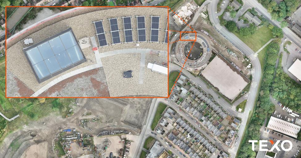
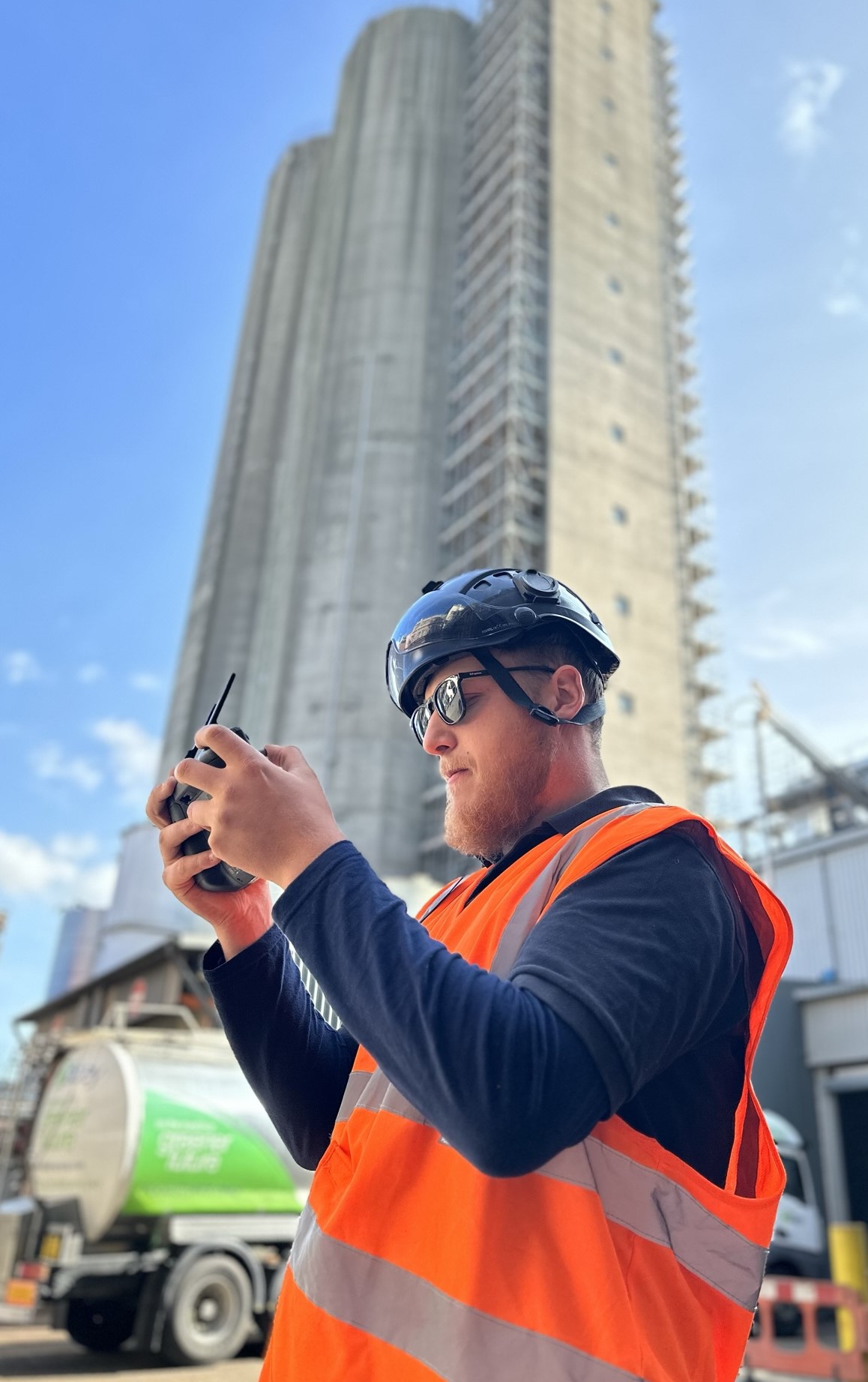
UAV Photogrammetry
Whilst scanning using a terrestrial system was necessary, some features on the external facades and roof area, in particular, were obscured due to line-of-sight limitations. TEXO utilised its specific CAA permissions to photogrammetrically capture 2000 images on the external facades/roof. This was completed in a single day, with inspection imagery also collected of the area.
REVIT Modelling
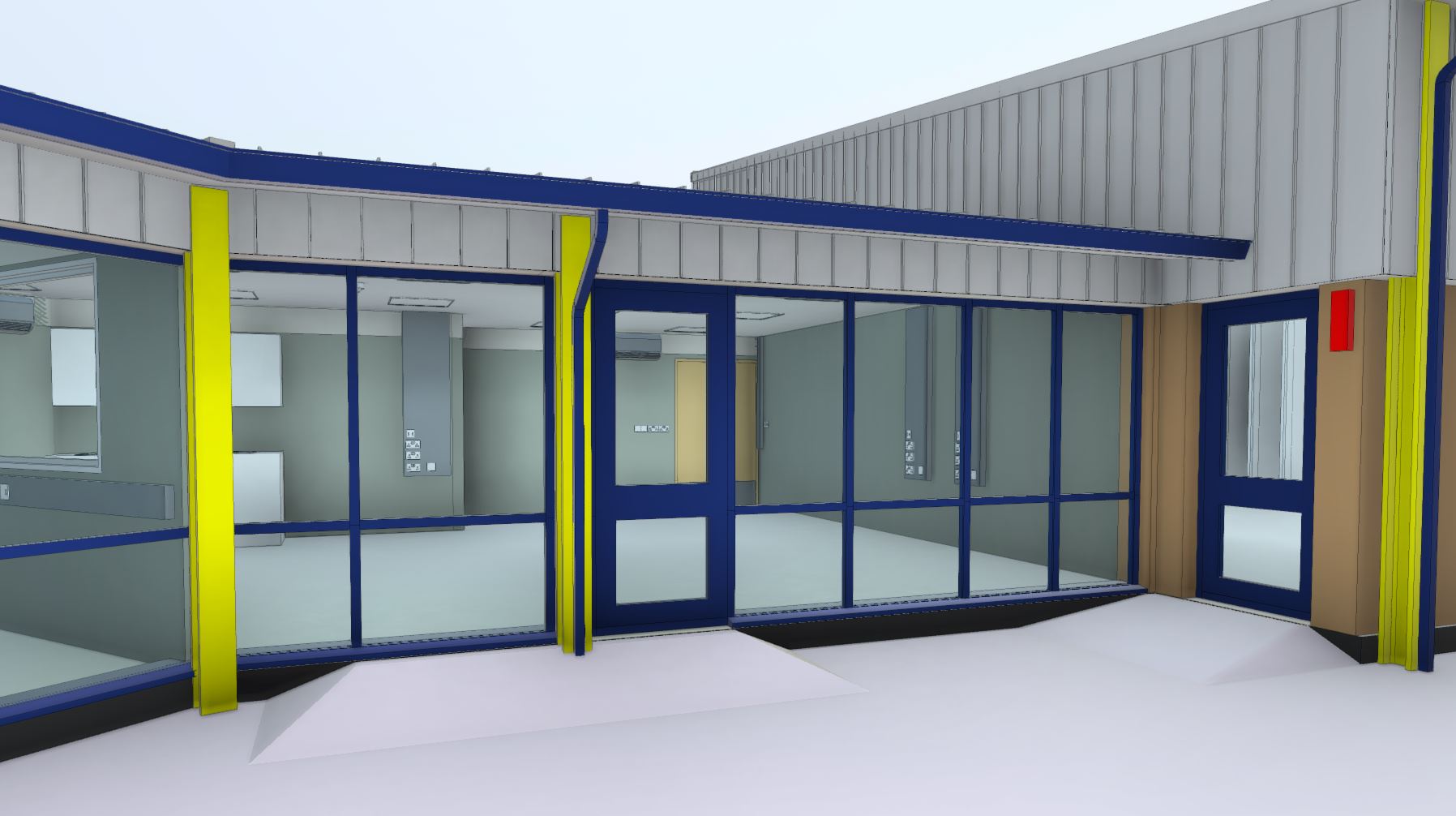
Using the highly detailed point cloud export from the terrestrial scan and photogrammetry observation, our in-house REVIT team was able to generate the specified LOD300 REVIT Model. All ducting, piping, cable runs, fixed furniture, heating elements and fixings were modelled as part of the process.
As with all TEXO Scan to BIM model projects, a detailed RFI was sent to the client highlighting any conflicts due to obscured items in the point cloud or inaccessible areas. The final REVIT model was texturised and supplied to the client in .fbx and .Rvt format after 10 working days.