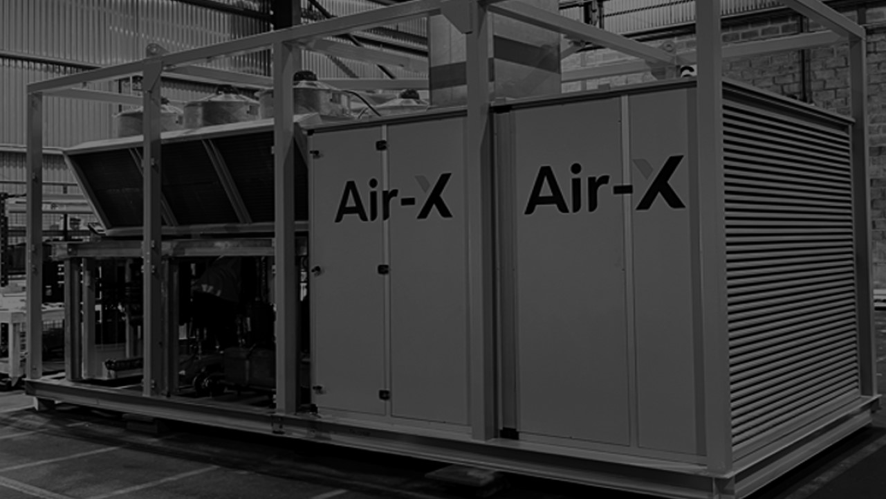
HVAC & Refrigeration
Survey & Inspection (DSI) > <
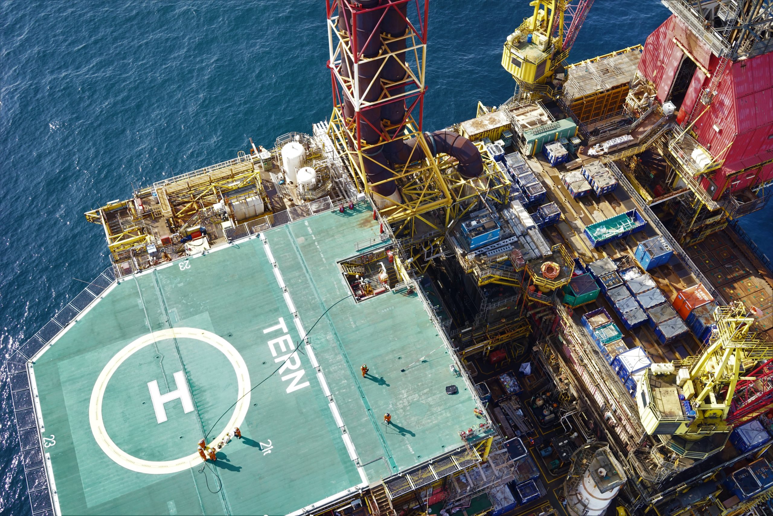
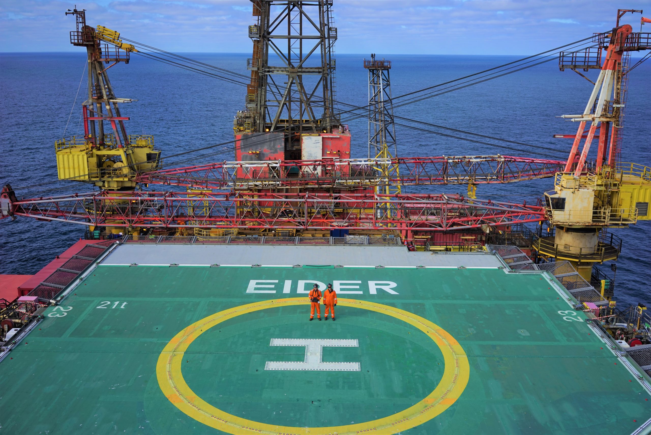
Texo DSI Delivers 3D Digital Twins in the North Sea
TAQA
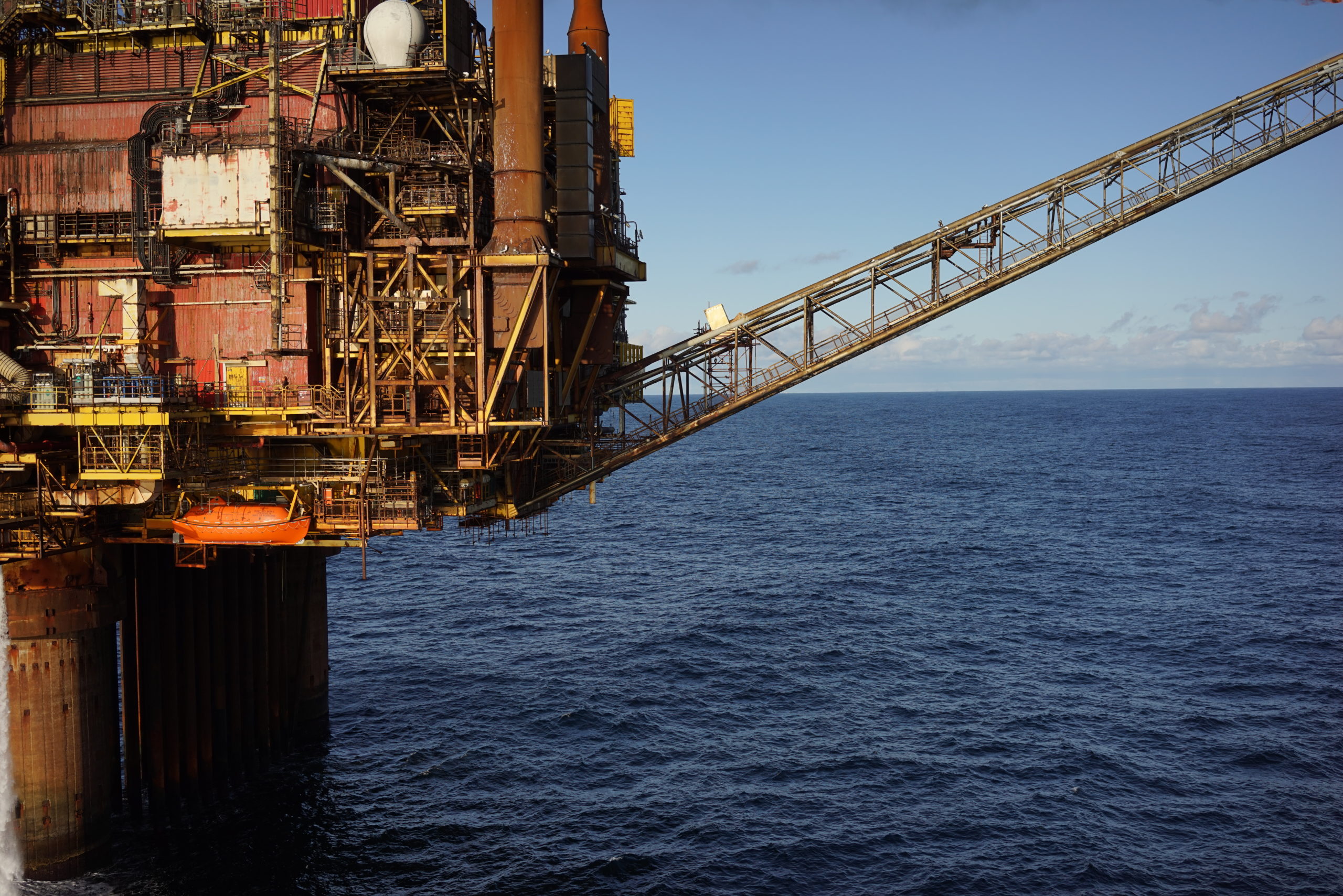
The Eider Alpha, North Cormorant, Cormorant Alpha and Tern Alpha platforms in the northern North Sea are currently in late-life operations, and TAQA was seeking to maximise economic recovery while also preparing for the decommissioning of these assets.
TAQA’s decommissioning directorate briefed Texo DSI to undertake 360°, multi-disciplinary surveys across all four platforms. The aim was to capture high-accuracy imagery of each asset from topside to sea level, including the underdeck, which could be used for future decommissioning purposes, enabling ‘virtual surveying’ from a desk on shore and to execute detailed planning for deconstruction.
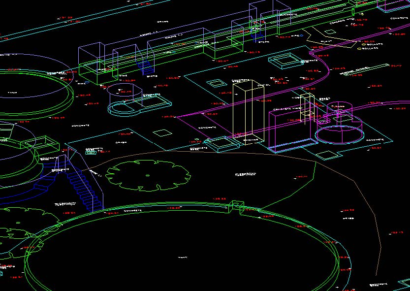
The solution - 3D Digital Survey
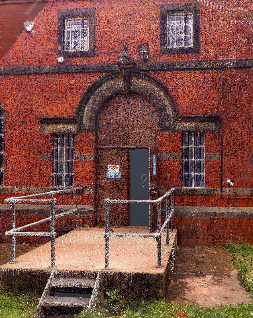
Texo DSI deployed a multi-disciplinary survey team to each asset for a seven-day period. The team, comprising a specialist LiDAR-trained surveyor and UAV pilot highly experienced in the capture of 3D photogrammetry on complex assets, was tasked with capturing data to deliver 3D models and ultra-high definition images.
Chris Smith, Managing Director of Texo said: “As standalone technologies, LiDAR and photogrammetry can offer neither the accuracy nor coverage required to offer a true scale, 3Dmodel. However, Texo DSI’s experience of combining these technologies addresses both issues via a carefully designed methodology and survey procedure.”
The result
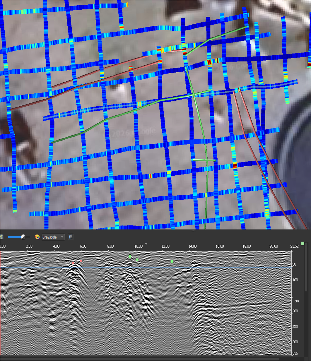
Once the offshore work was complete, the data was subjected to a careful processing and correction phase to ensure we generated models, as point clouds, to the required accuracy. The results were directly compared to existing plans to confirm the accuracy of the data. The required accuracies were achieved in a faster, safer and with greater coverage than any previous surveys.
The 3D survey data offers detailed HD images for inspection use, particularly of underdeck and flare tip areas – potentially reducing the need for costly shutdowns and high-risk access solutions.
The data is hosted on TexZone, TEXO’s client portal, which allows TAQA personnel to view and interact with the data, and removes the requirement for further storage and software solutions. TexZone enables users to tag components, share and trend data and work together on projects. It supports smart collaboration across all levels of an organisation and with external parties.