Survey & Inspection (DSI)
Our client needed support on this confined site to capture hidden building details from ground-based scanning. Also, there was a requirement to capture in colour the building envelope for heritage records. Topographic and boundary information was also required along the riverbank to one side of the site.
SOLUTION
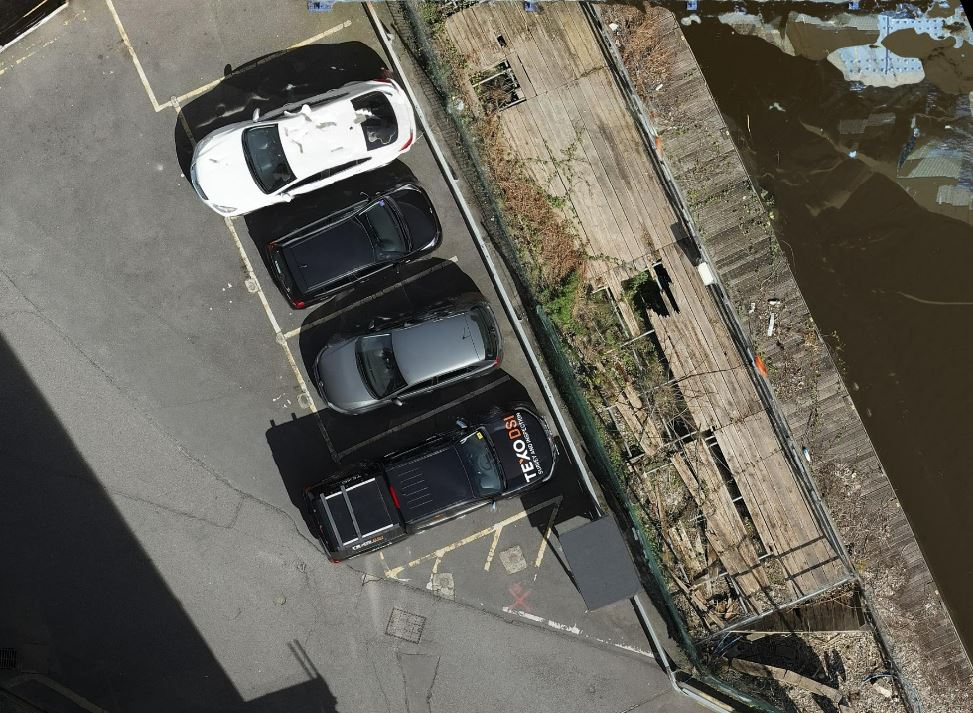
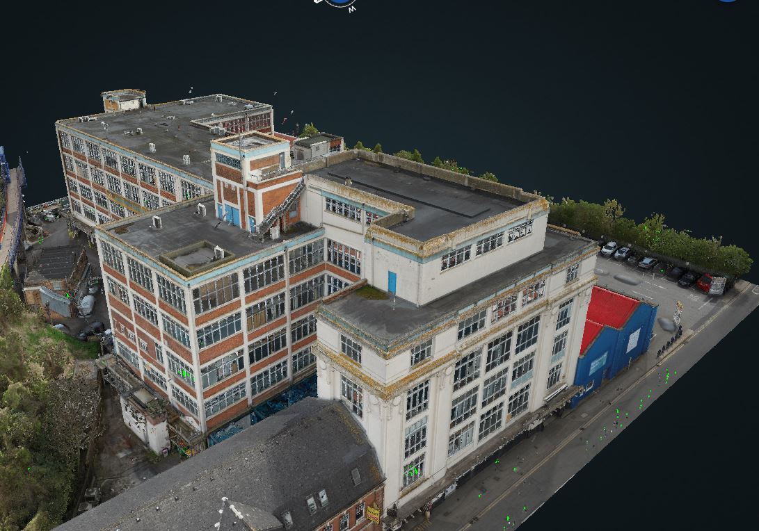
Using our UAS platform with inspection-grade camera, we recorded an enhanced photogrammetry survey of the building and site.
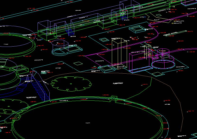
This was referenced to the existing site control from the topographic and measured building survey. Photogrammetry data was integrated with existing terrestrial scan data.
RESULT
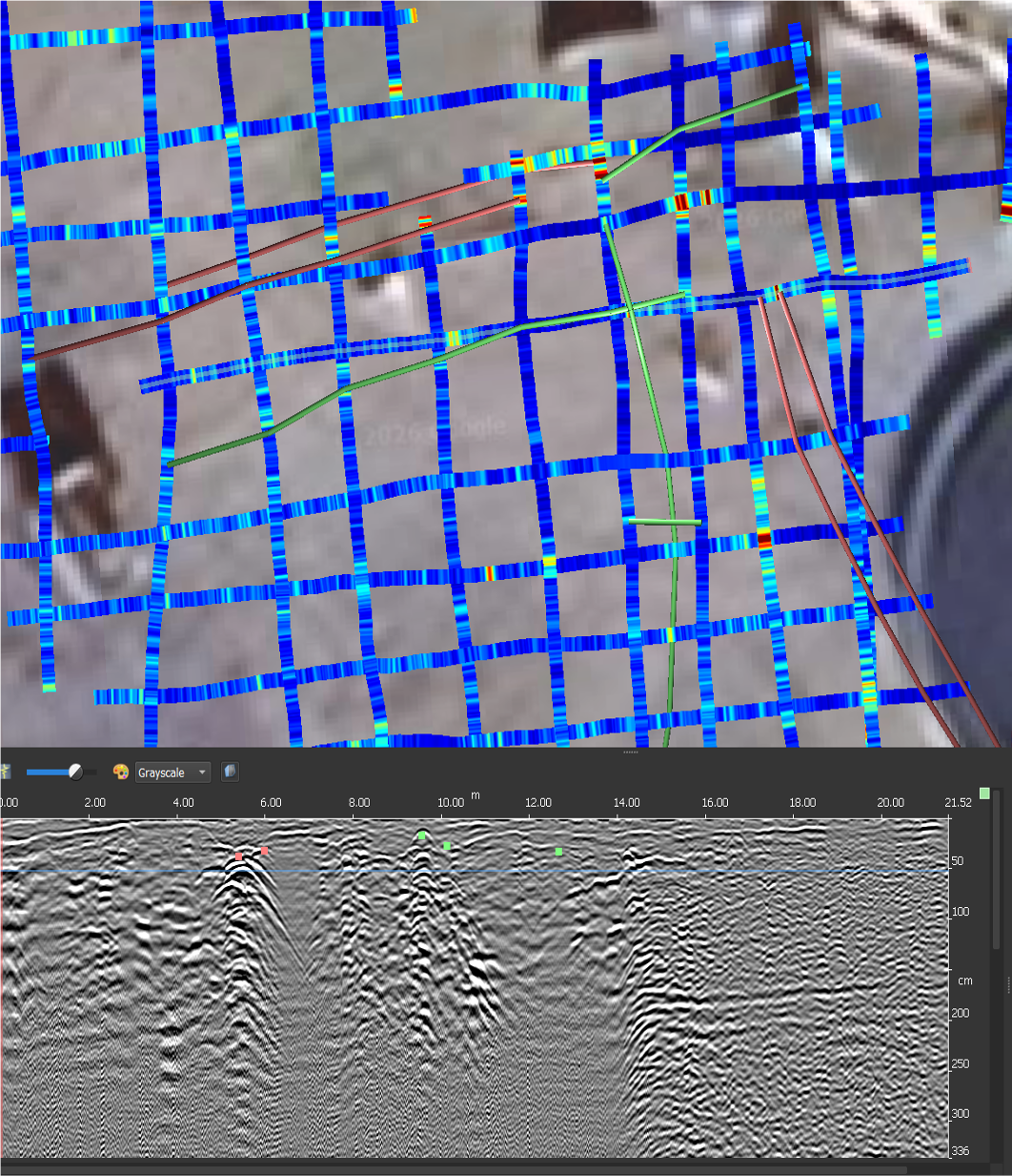
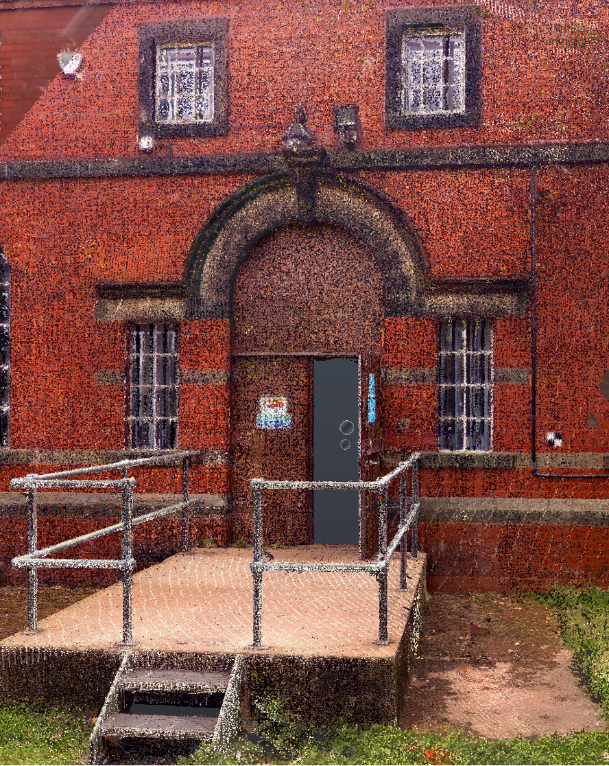
The photogrammetry data was processed using the terrestrial scan data and its geometry to enable the production of a high-quality integrated colourised point cloud, to aid the completion of the measured building survey. The existing external scan information was colourised to produce a comprehensive visual and geometric record of the building envelope. This also enabled the initial condition inspection of the listed facades.
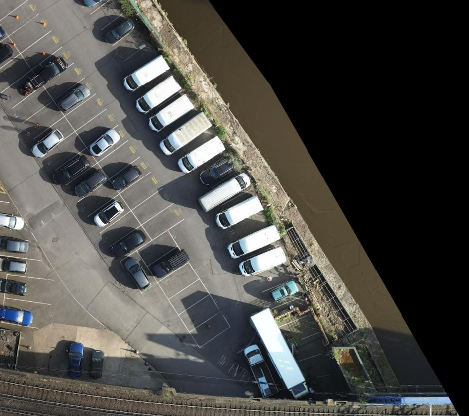
The higher quality information enabled a high-resolution ortho photo of the site to be produced. This was used to map inaccessible areas along the riverside. Referenced to Ordnance Survey national grid, this was also used in the boundary analysis in these areas.
Production of 3D information including:
- 3D LiDAR Point Cloud in .las format
- 3D inspection model hosted on Texzone Portal
- Site Orthomosaic’ in Geotiff format